Strange Maps
A special series by Frank Jacobs.
Frank has been writing about strange maps since 2006, published a book on the subject in 2009 and joined Big Think in 2010. Readers send in new material daily, and he keeps bumping in to cartography that is delightfully obscure, amazingly beautiful, shockingly partisan, and more. "Each map tells a story, but the stories told by your standard atlas for school or reference are limited and literal: they show only the most practical side of the world, its geography and its political divisions. Strange Maps aims to collect and comment on maps that do everything but that - maps that show the world from a different angle."
featured
All Stories
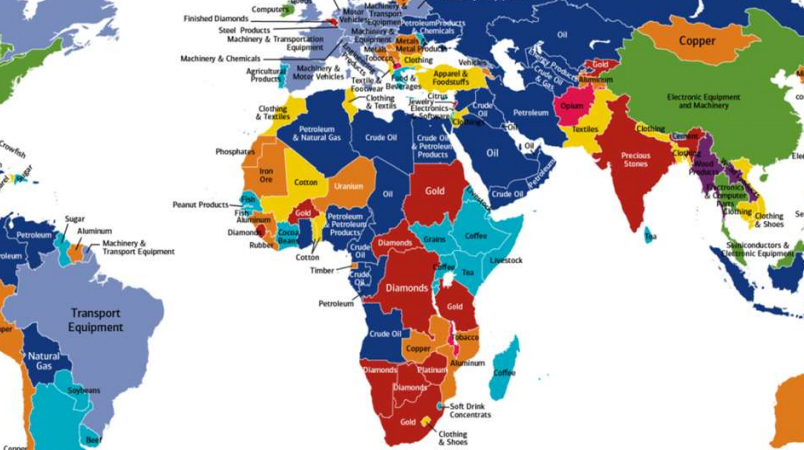
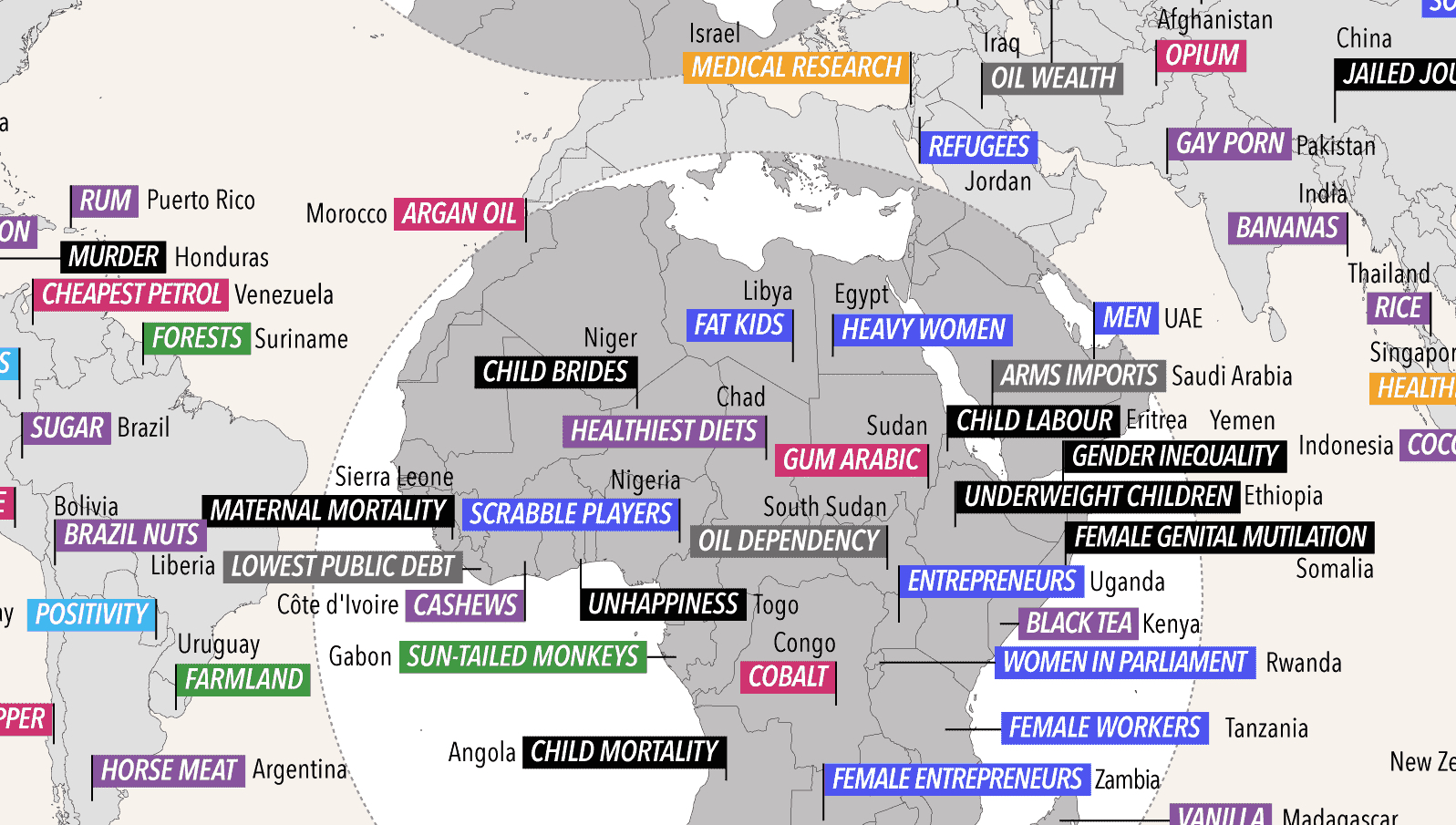
From peanuts over petroleum to opium: these are the exports that power global trade
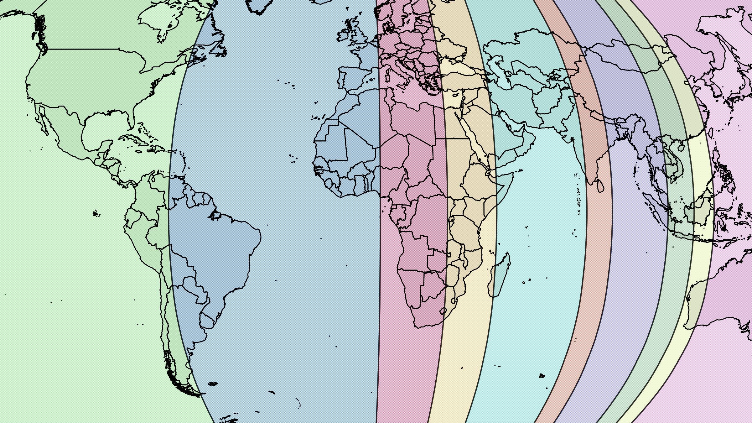
Americans live the the broadest, emptiest slice of the planet.
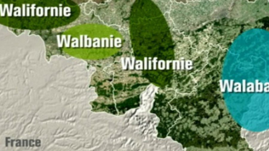
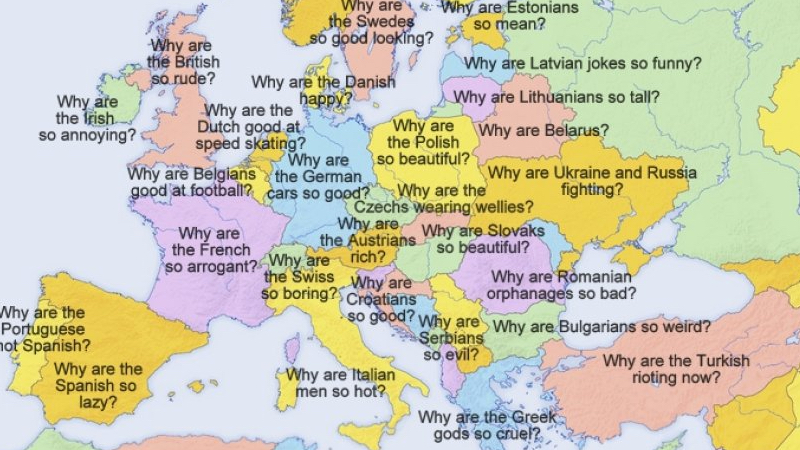
Two insults for the price of one
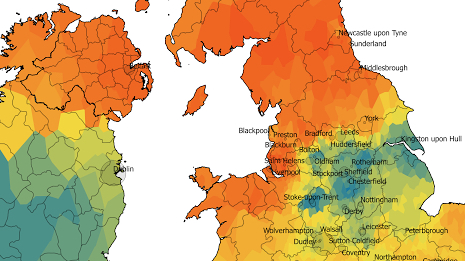
Ravenser Odd is just one of 29 towns swallowed by the North Sea
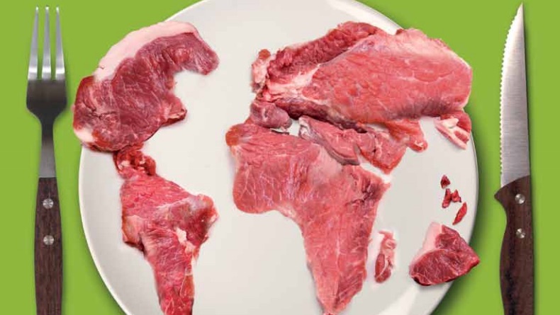
Warning: these maps might leave a strange taste in your mouth
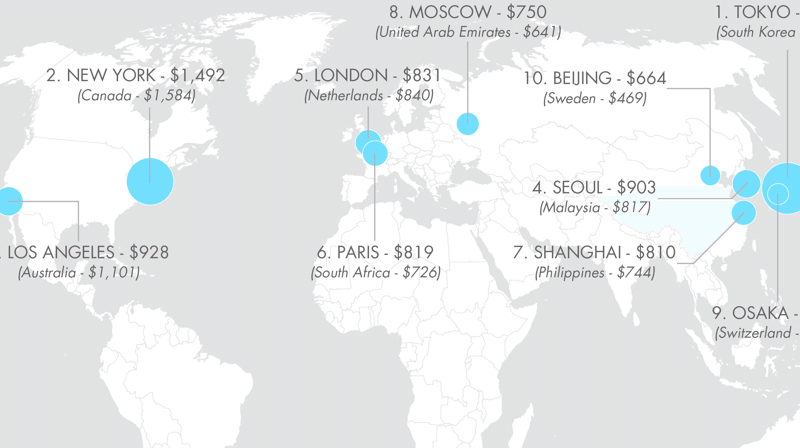
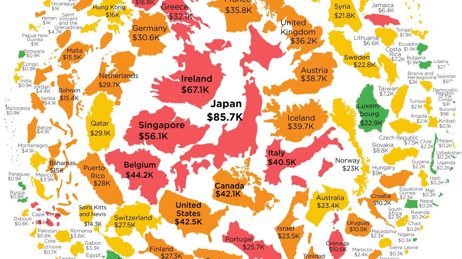
New York has the same GDP as Canada, Los Angeles makes as much money in a year as Australia
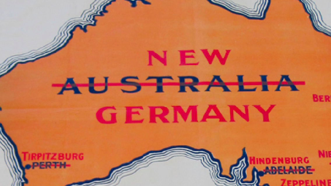
Shouldn’t that be Hindenburgburg, mate?
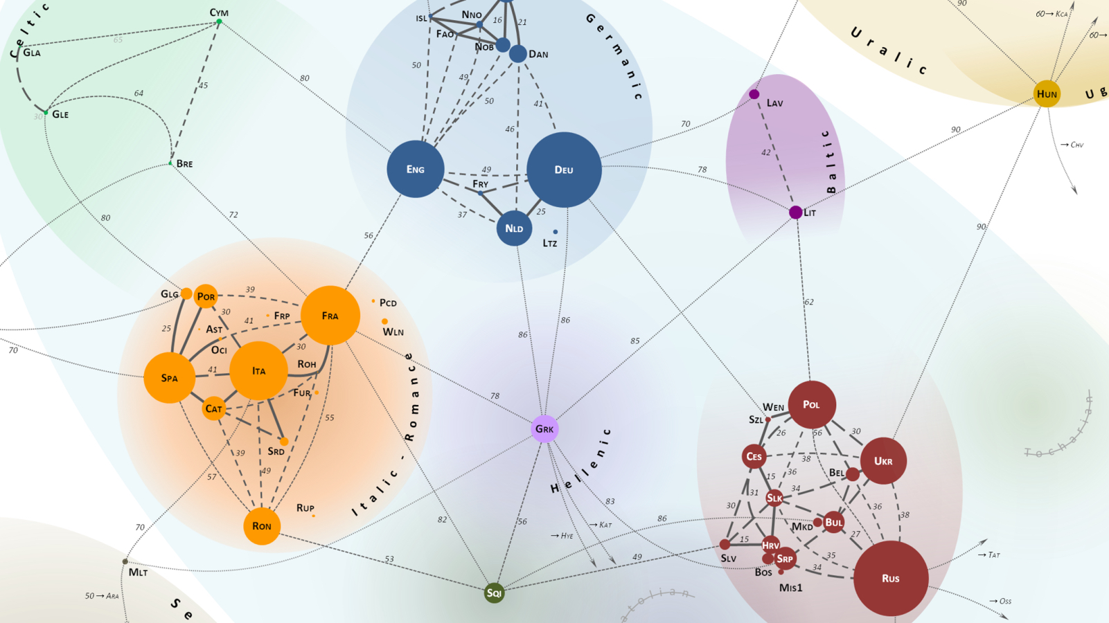
A Finn and a Spaniard walk into a bar…
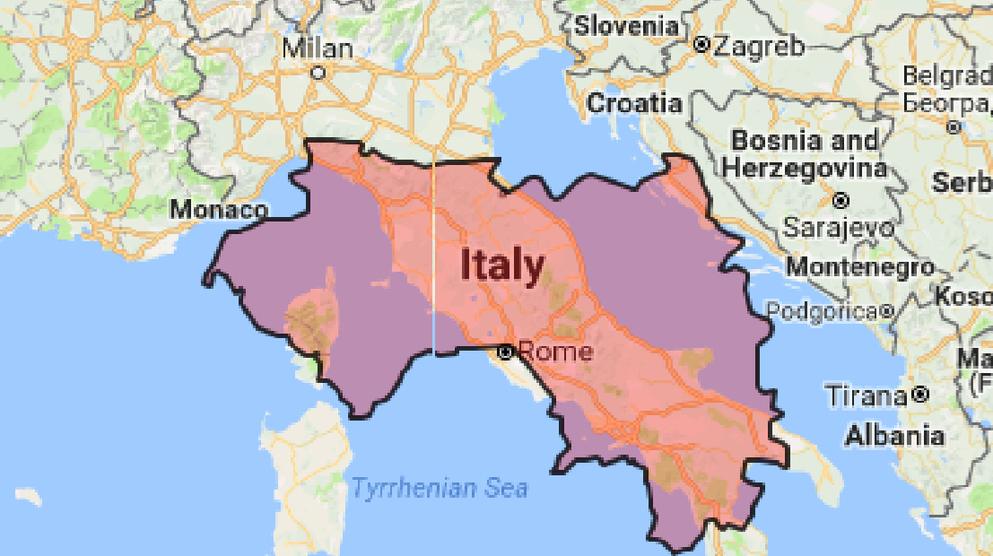
The Vatican is world leader in one particular variable. Can you guess which?
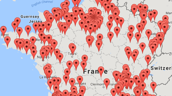
Prime minister or postal worker: if you’ve been condemned for corruption in France, you’re on this map
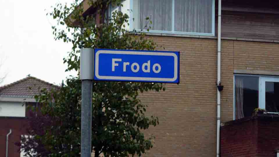
I’ll meet you at the corner of Saruman and Aragorn
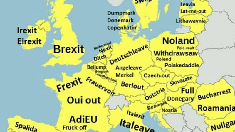
Caught between a rock and a hard place, the EU had better get ready for some of these exit-names
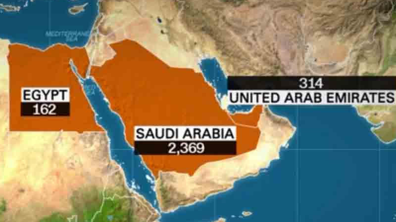
Number of terrorist acts perpetrated in the U.S. by nationals of any of the seven countries? Zero.
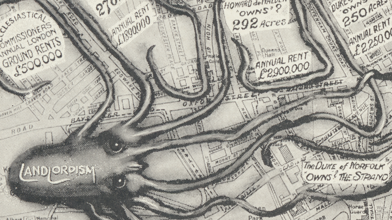
A handful of noble families own large tracts of the British capital – and have done so for centuries
A minister misspeaks – and accidentally creates an entire Latin American country
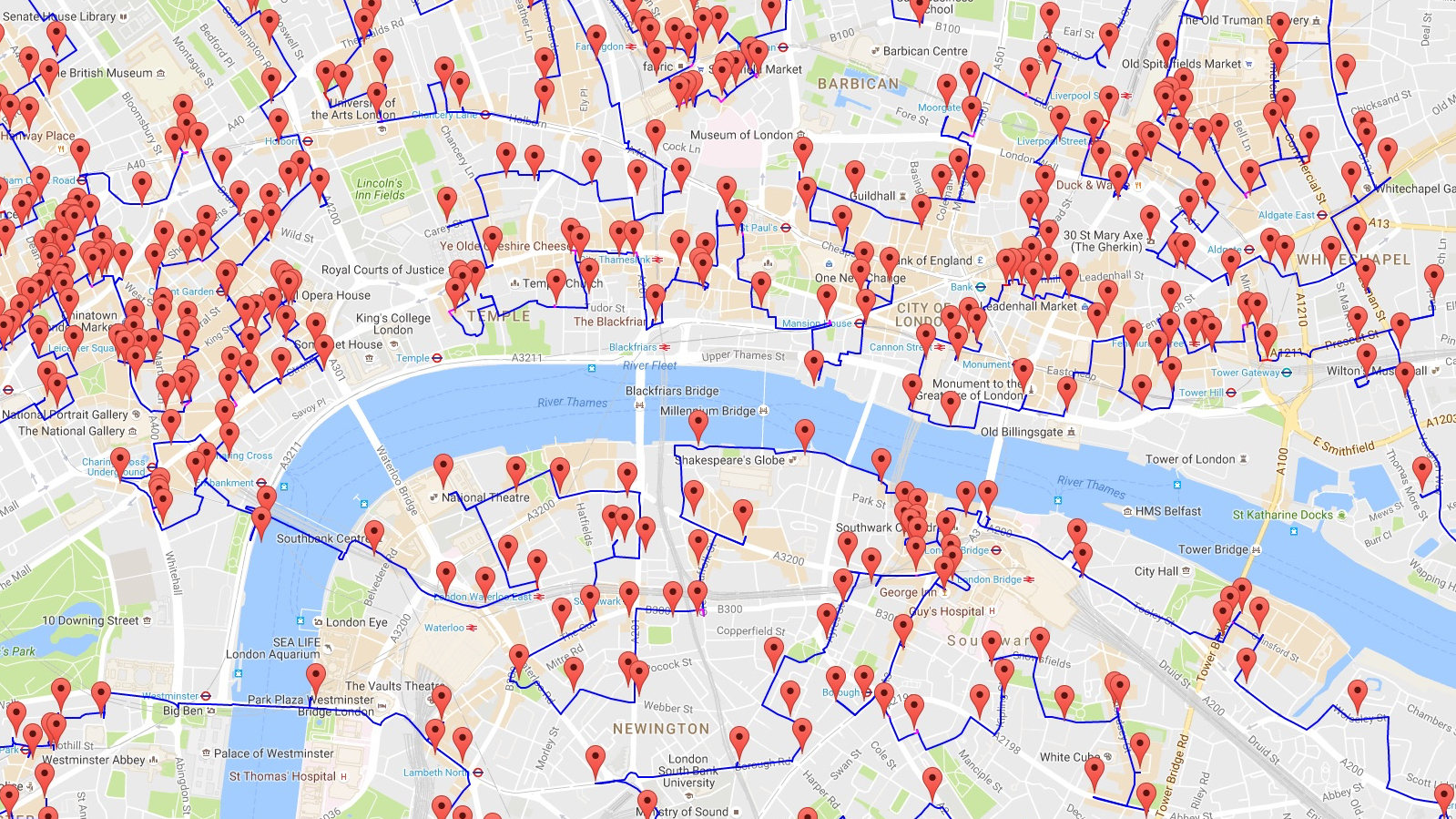
Plotting out the world’s longest pub crawl had a serious, mathematical point
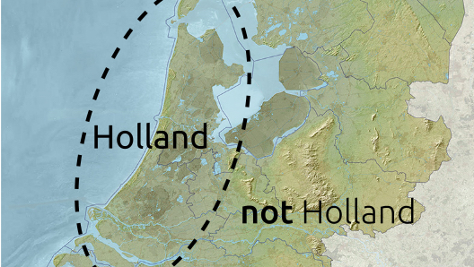
Everything you always wanted to know about the Dutch, but were afraid to ask because they spit while they speak
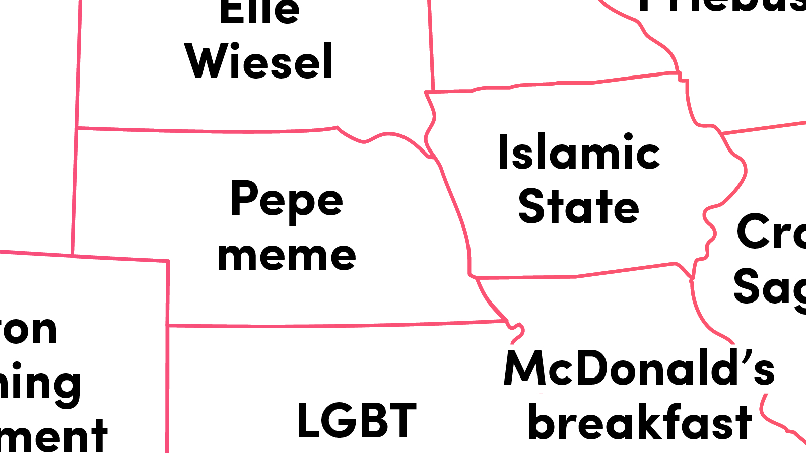
Death, politics and war – but also Dirty Grandpas, supermoons and all-day breakfasts
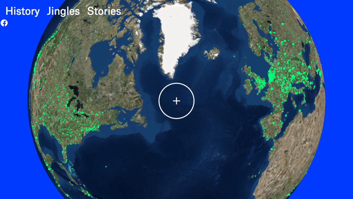
A strangely reassuring global directory of close to 8,000 radio stations
Here, it’s men who suffer from a (reverse) gender pay gap
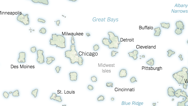
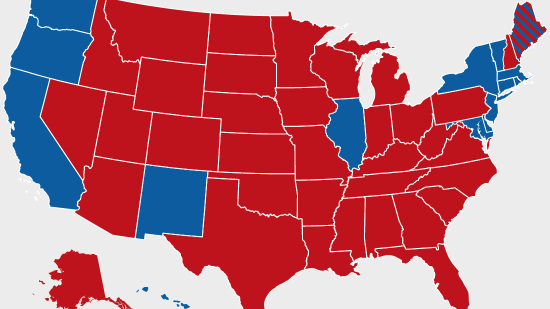
The winning side in the U.S. presidential election rules a vast, contiguous land mass, the losers are cooped up on a far-flung archipelago
The secret Red Line Map that could have given Lower Canada to the U.S.
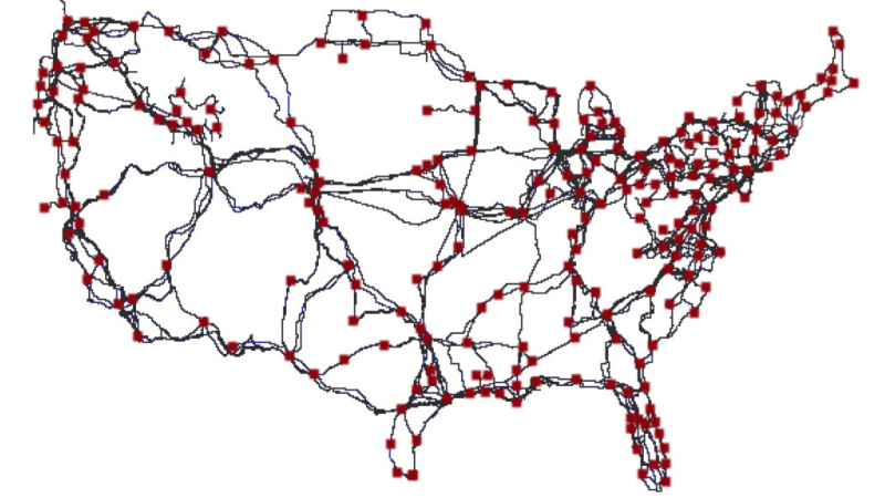
It’s a web, it’s a cloud – it’s under attack: how outages reveal the actual shape of the internet
Not as cheerful as your standard cartography – but you might learn a thing or two
If only men would vote, Trump would be the next president. If only women voted, Clinton would win by an even bigger landslide.
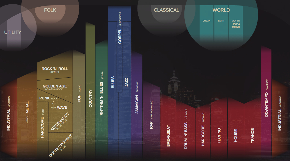
Welcome to Music City – just click and play!
