Strange Maps
A special series by Frank Jacobs.
Frank has been writing about strange maps since 2006, published a book on the subject in 2009 and joined Big Think in 2010. Readers send in new material daily, and he keeps bumping in to cartography that is delightfully obscure, amazingly beautiful, shockingly partisan, and more. "Each map tells a story, but the stories told by your standard atlas for school or reference are limited and literal: they show only the most practical side of the world, its geography and its political divisions. Strange Maps aims to collect and comment on maps that do everything but that - maps that show the world from a different angle."
featured
All Stories
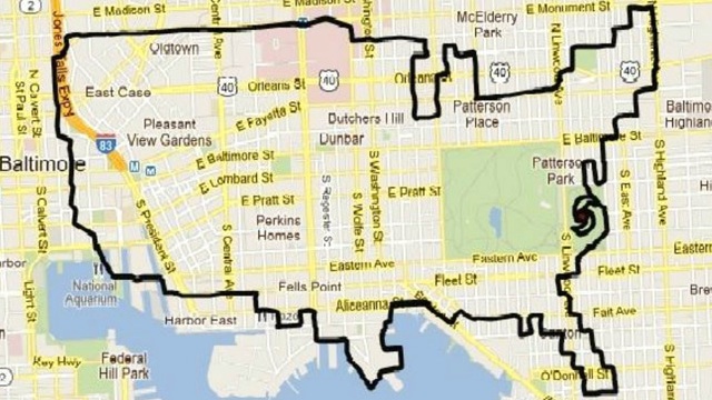
GPS technology is opening up exciting new hybrid forms of mapping and art. Or in this case: cycling, mapping and art. The maps on this page are the product of […]
In a dream-like scene from Charlie Chaplin’s The Great Dictator, the titular tyrant [1] gently plucks a large globe from its standalone frame, holds it longingly in his arms and […]
Scandinavia is ground zero for heavy metal, but the genre crops up in less obvious places as well…
One of Earth Platinum’s 31 copies could be yours for a mere $100,000
The incredible (and indeed untrue) story of President Taylor’s APE
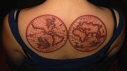
I’m still not sure what Pinterest is for [1], but scrolling a recommended collection of maps on the site, I couldn’t help but notice that the number of cartographic tattoos […]
Why travel all the way to Italy when you can visit a place much closer by that is shaped like Italy? That is the alluring ruse proposed by this poster, […]
A satirical take on the financial crisis of the 1720s
Their paths were similar, but the outcomes were far from the same
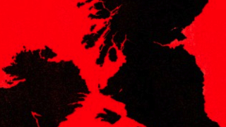
To be or not to be Scandinavian, that might be the question soon enough for Scotland, if it decides to become independent. For the time being, Scotland is still a […]
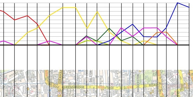
Where is this? Watch how the answer changes as you move along one busy London street.
Surprise meeting with an old acquaintance in the Whitechapel Gallery – Grayson Perry’s Map of an Englishman (discussed in #241). “It’s the work that draws the most people, and gets […]
A splendid example of ge-hog-raphy
The soft-edged fiction that came before Alaska.
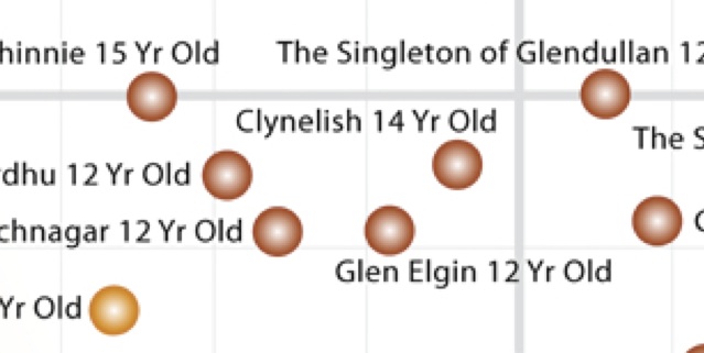
Happy 2012! By now, you’re probably still in the earnest stage of your New Year’s resolutions. If one of those is about your determination to cut back on drink, this […]
An apple a day keeps the doctor away. But eating that apple is not enough. Where you eat it matters almost as much. At least it did in the mid-19th […]
This trans-African colony could have rivalled Brazil for dominance of the Portuguese-speaking world.
If you’re in the north of England and you’re in a town ending in -by, you’re in former Danish-ruled territory [1]. If the toponym starts with beau- or bel-, it […]
The second dip of the worldwide recession is a bit like that scene in Monty Python’s Holy Grail, where two guards stupidly stare at a horseless knight approaching in the […]
Mapping the many paths from fully bearded to clean-shaven
Finding maps that are sufficiently strange and beautiful is only half the joy of making this blog; the other is writing up the story to go along with them. But […]
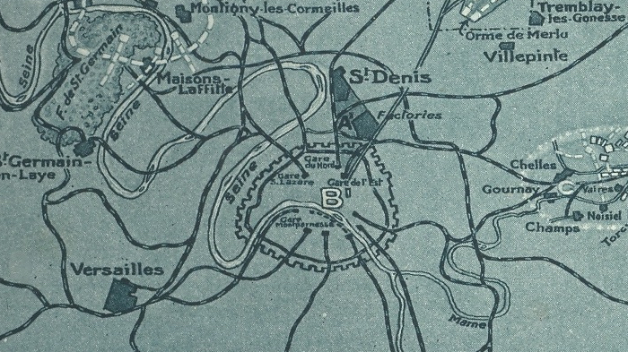
To avoid the German air force bombing Paris, the French built a fake version of their capital
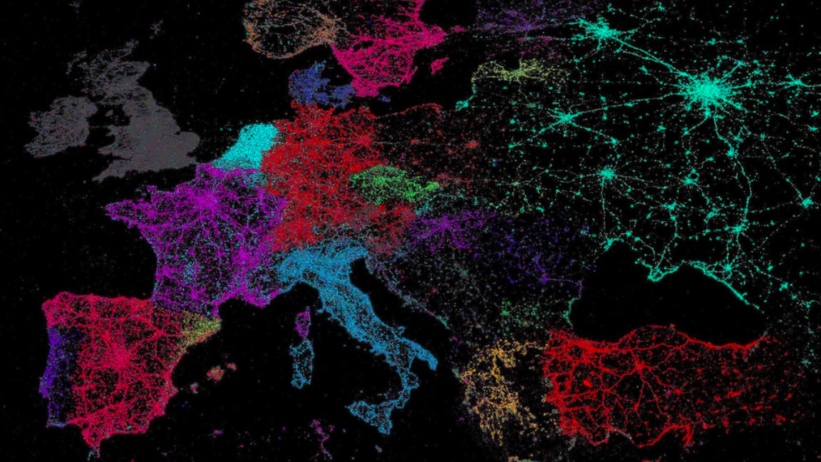
The explosive growth of the micro-blogging service’s global popularity is emblematic of a trend affecting the entire internet: it’s becoming less American, and less Anglophone.
The maps discussed on this blog are rarely of any hard, practical use. This one does have real-world relevance – especially if you’re a globetrotting, It’s-Tuesday-so-this-must-be-Belarus kind of traveller. Living […]
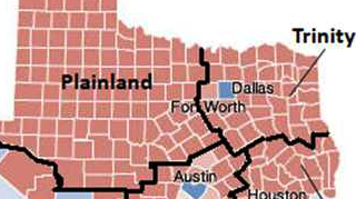
The plural of Texas? My money’s on Texases, even though that sounds almost as wrong as Texae, Texi or whatever alternative you might try to think up. Texas is defiantly […]
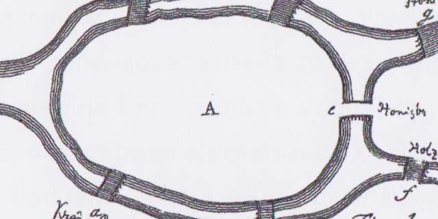
How a riddle involving one river, two islands and seven bridges prompted a mathematician to lay the foundation for graph theory
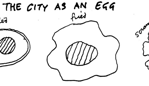
Your city is an egg. Most likely a scrambled one.
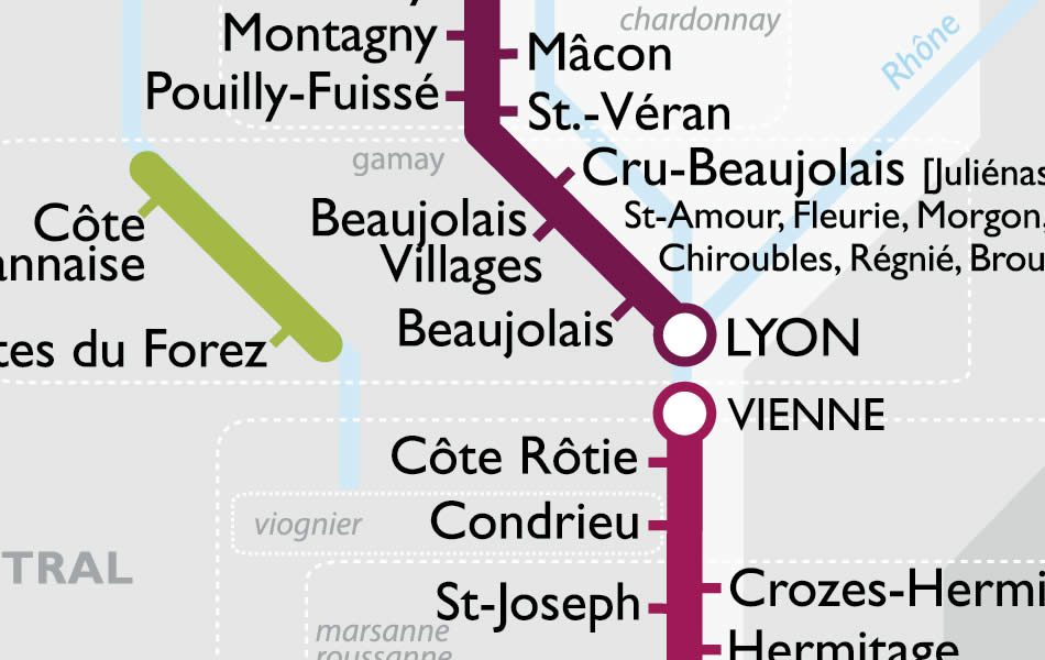
Wine maps are appreciated mainly by the select few who are both cartophiles and oenophiles. Those who are either or neither face a formidable obstacle to cartographic enjoyment, inherent in […]
