252 – A River Runs Through It: the Chamizal Dispute (1895-1963)
n
Ever since the Mexican-American War (1845-49), the Rio Grande has been the border between the two nations from El Paso to the Gulf, giving Texas a natural southern boundary. Fixing the border on a river might seem a tidy solution. But while rivers last longer than most treaties, they are also bound by none. When a river shifts, it shifts, treaty or no.
n
Does the border then trace the old riverbed or the new one? Naturally, both parties would prefer the outcome that left them the most territory (and the other the least). A war, anyone? International law has a rule for this particular clash between fluctuation and demarcation: if the river changes course gradually, through erosion, the border follows. If the river radically changes course, through avulsion, the border should remain where it was before.
n
By 1895, the Rio Grande – and the US – had moved south about 600 acres (2,4 sq. km), a disputed area known as El Chamizal. Mexicans filed claims to the land south of the old riverbed (but north of the new one), an arbitration commission was established and it eventually proclaimed in 1911 that each country should receive part of the disputed area:
nThe US was to receive the area between the riverbed as originally surveyed in 1852 and the riverbed as it had shifted southwards by 1864, the rest going to Mexico, even though this was to the north of the later riverbed of the Rio Grande.
n
The US did not accept this split decision, leading to sustained tension with Mexico and the development of a curious zone in El Chamizal, called Cordova Island. This was a virtual Mexican island in the disputed zone, leading to a grey zone that fostered crime and illegal border crossings.
n
In 1963, US president JF Kennedy and Mexican president Adolfo Lopez Mateos agreed to settle the Chamizal Dispute along the lines of the 1911 recommendations.
n
• The US and Mexico each received 193 acres of Cordova Island;
n• Mexico received 366 acres west of Cordova Island, and 264 acres to the east of it.
n• Mexico and the US shared the cost of a man-made channel that would (or should) prevent further blurring of the border.
n• US citizens in the Chamizal area were relocated and compensated for the loss of their homes and businesses.
n• A Chamizal National Memorial, an amphitheatre, a bookstore and a museum were established in the area, which every October hosts several cultural events such as the Border Folk Festival and the Siglo del Oro drama festival.
n
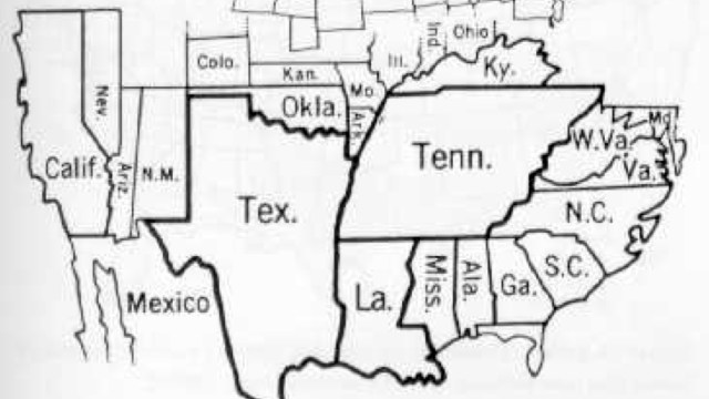
This map, found at this page at answers.com, would have benefited from a better dating of the three sets of riverbeds, which I assume must be the ones from 1852 (‘old boundary’), 1864 (‘Relocated River Channel’) and around 1895 (‘Rio Grande’).
n


