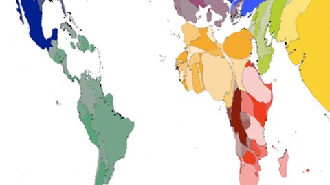
The World Turned Upside Down

People see what their tools let them see. Case in point: How different the world looks when it’s mapped according to unfamiliar principles.
Even more striking than a reverse-pole map are these, by the Worldmapper Project, whose maps resize territories according to their relative weights for some subject of interest — like income, Internet use, or age-of-death. As the project’s Danny Dorling and Anna Barford wrote a few years ago, countries and continents are still recognizable, but the representation of their differences by, say, population density yields “shrunken areas [that] are like balloons that have had some air let out, and expanded areas [that] are like balloons that have been inflated.” The effect is weird, compelling and informative. Check out the formidable lobsterish creature that results from representing the regions of the United States according to their population density.


